Trempealeau River at Dodge
Critical Stages
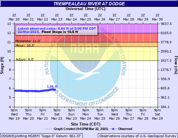
9' - Action
10.5' - Flood
11' - Moderate
12' - Major
Latest Observation
Updated: 10:00 AM CST 12/15/25
Status: No Flooding
Stage: 6.76 ft
Flow: 0.78 kcfs
Forecast
Forecast not available for this location.
| Time | Stage (ft) | Flow (kcfs) |
|---|---|---|
| 11:00 AM 12/15 | 6.77 | 0.784 |
| 10:45 AM 12/15 | 6.76 | 0.78 |
| 10:30 AM 12/15 | 6.76 | 0.78 |
| 10:15 AM 12/15 | 6.76 | 0.78 |
| 10:00 AM 12/15 | 6.76 | 0.78 |
| 9:45 AM 12/15 | 6.76 | 0.78 |
| 9:30 AM 12/15 | 6.76 | 0.78 |
| 9:15 AM 12/15 | 6.76 | 0.78 |
| 9:00 AM 12/15 | 6.76 | 0.78 |
| 8:45 AM 12/15 | 6.76 | 0.78 |
| 8:30 AM 12/15 | 6.76 | 0.78 |
| 8:15 AM 12/15 | 6.76 | 0.78 |
| 8:00 AM 12/15 | 6.76 | 0.78 |
| 7:45 AM 12/15 | 6.76 | 0.78 |
| 7:30 AM 12/15 | 6.76 | 0.78 |
| 7:15 AM 12/15 | 6.76 | 0.78 |
| 7:00 AM 12/15 | 6.76 | 0.78 |
| 6:45 AM 12/15 | 6.76 | 0.78 |
| 6:30 AM 12/15 | 6.76 | 0.78 |
| 6:15 AM 12/15 | 6.76 | 0.78 |
| 6:00 AM 12/15 | 6.76 | 0.78 |
| 5:45 AM 12/15 | 6.76 | 0.78 |
| 5:30 AM 12/15 | 6.76 | 0.78 |
| 5:15 AM 12/15 | 6.76 | 0.78 |
| 5:00 AM 12/15 | 6.77 | 0.784 |
| 4:45 AM 12/15 | 6.77 | 0.784 |
| 4:30 AM 12/15 | 6.77 | 0.784 |
| 4:15 AM 12/15 | 6.76 | 0.78 |
| 4:00 AM 12/15 | 6.77 | 0.784 |
| 3:45 AM 12/15 | 6.78 | 0.787 |
13.5' -
Water begins to impact a large portion of the town of Dodge.
12' -
Low lying roads around Dodge may flood, including County Road P, as well as along a low spot on County Road J south of Dodge.
11.5' -
Water covers part of County Road J in Dodge.
11' -
The railroad bridge about three quarters of a mile upstream from the gage can restrict the flow.
9.5' -
The entrance road to the Trempealeau National Wildlife Refuge is flooded.
9' -
Agricultural and marsh land is flooded.
| Date | Stage (ft) |
|---|---|
| Mar 16, 2019 | 13.99 |
| Sep 25, 2010 | 12.75 |
| Jun 29, 1998 | 12.29 |
| Jul 21, 2017 | 12.19 |
| May 19, 2017 | 11.98 |
| Mar 15, 2007 | 11.56 |
| Aug 14, 2016 | 11.55 |
| Sep 18, 1992 | 11.44 |
| Aug 24, 1975 | 11.36 |
| Mar 12, 1985 | 11.18 |
| Jun 22, 1993 | 11.15 |
| Mar 15, 1990 | 11.12 |
| Aug 16, 2010 | 11.08 |
| Jul 17, 2024 | 10.99 |
| Aug 20, 2025 | 10.92 |
| Sep 24, 1986 | 10.83 |
| Mar 28, 1989 | 10.81 |
| Apr 11, 2013 | 10.75 |
| Apr 20, 2019 | 10.62 |
| Aug 16, 1995 | 10.61 |
Data provided by the National Weather Service.