3-Hour Radar Animation


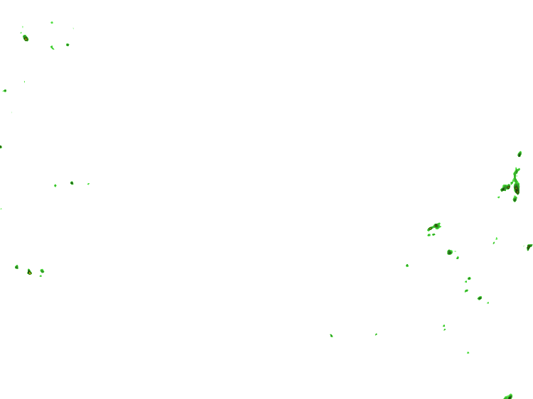


Rain

Ice

Snow

About this map: The Precipitation Type Radar is the base reflectivity radar with areas of precipitation split into their respective precipitation types (rain, snow, hail, etc.). The precipitation type is indicated by different colors... green is rain, pink is a mix of rain, freezing rain, sleet, and/or snow and blue is snow. A base reflectivity radar is a display of echo intensity (reflectivity) measured in dBZ (decibels of Z, where Z represents the energy reflected back to the radar). The data can be analyzed to determine a storm's structure and the possibility they could become severe. "Reflectivity" is the amount of transmitted power returned to the radar receiver. Base Reflectivity images are available at several different elevation angles (tilts) of the antenna and are used to detect precipitation, evaluate storm structure, locate atmospheric boundaries and determine hail potential.
Other common terms for weather radar are weather surveillance radar (WSR) and Doppler weather radar.