« Back to Carroll County Rivers
Tennessee River at Johnsonville
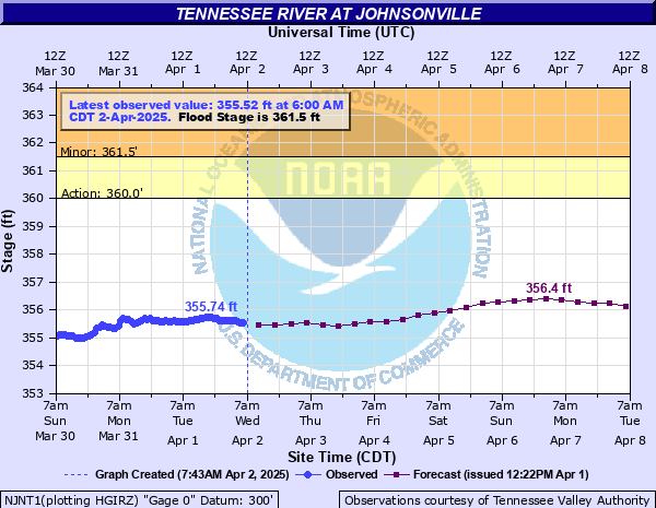
Critical Stages
360' - Action
361.5' - Flood
366' - Moderate
370' - Major
Latest Observation
Updated: 10:00 PM CST 12/4/25
Status: No Flooding
Stage: 354.41 ft
Flow: -999 kcfs
Forecast
| Time | Stage (ft) | Flow (kcfs) |
|---|---|---|
| 6 AM 12/5 | 354.44 | -999 |
| 12 PM 12/5 | 354.43 | -999 |
| 6 PM 12/5 | 354.48 | -999 |
| 12 AM 12/6 | 354.48 | -999 |
| 6 AM 12/6 | 354.56 | -999 |
| 12 PM 12/6 | 354.52 | -999 |
| 6 PM 12/6 | 354.55 | -999 |
| 12 AM 12/7 | 354.51 | -999 |
| 6 AM 12/7 | 354.55 | -999 |
| 12 PM 12/7 | 354.52 | -999 |
| 6 PM 12/7 | 354.46 | -999 |
| 12 AM 12/8 | 354.5 | -999 |
| 6 AM 12/8 | 354.51 | -999 |
| 12 PM 12/8 | 354.48 | -999 |
| 6 PM 12/8 | 354.43 | -999 |
| 12 AM 12/9 | 354.47 | -999 |
| 6 AM 12/9 | 354.51 | -999 |
| 12 PM 12/9 | 354.47 | -999 |
| 6 PM 12/9 | 354.46 | -999 |
| 12 AM 12/10 | 354.46 | -999 |
| 6 AM 12/10 | 354.54 | -999 |
| 12 PM 12/10 | 354.48 | -999 |
| 6 PM 12/10 | 354.51 | -999 |
| 12 AM 12/11 | 354.55 | -999 |
| 6 AM 12/11 | 354.59 | -999 |
| 12 PM 12/11 | 354.52 | -999 |
| Time | Stage (ft) | Flow (kcfs) |
|---|---|---|
| 12:00 AM 12/5 | -9999 | -999 |
| 11:00 PM 12/4 | -9999 | -999 |
| 10:00 PM 12/4 | 354.41 | -999 |
| 9:00 PM 12/4 | 354.4 | -999 |
| 8:00 PM 12/4 | 354.39 | -999 |
| 7:00 PM 12/4 | 354.4 | -999 |
| 6:00 PM 12/4 | 354.43 | -999 |
| 5:00 PM 12/4 | 354.43 | -999 |
| 4:00 PM 12/4 | 354.44 | -999 |
| 3:00 PM 12/4 | 354.46 | -999 |
| 2:00 PM 12/4 | 354.48 | -999 |
| 1:00 PM 12/4 | 354.48 | -999 |
| 12:00 PM 12/4 | 354.46 | -999 |
| 11:00 AM 12/4 | 354.42 | -999 |
| 10:00 AM 12/4 | 354.39 | -999 |
| 9:00 AM 12/4 | 354.34 | -999 |
| 8:00 AM 12/4 | 354.3 | -999 |
| 7:00 AM 12/4 | 354.33 | -999 |
| 6:00 AM 12/4 | 354.35 | -999 |
| 5:00 AM 12/4 | 354.42 | -999 |
| 4:00 AM 12/4 | 354.44 | -999 |
| 3:00 AM 12/4 | 354.39 | -999 |
| 2:00 AM 12/4 | 354.36 | -999 |
| 1:00 AM 12/4 | 354.34 | -999 |
| 12:00 AM 12/4 | 354.31 | -999 |
| 11:00 PM 12/3 | 354.27 | -999 |
| 10:00 PM 12/3 | 354.24 | -999 |
| 9:00 PM 12/3 | 354.21 | -999 |
| 8:00 PM 12/3 | 354.21 | -999 |
| 7:00 PM 12/3 | 354.21 | -999 |
375' -
The Battle of Johnsonville Park in the Johnsonville State Historic Park is completely flooded.
370' -
Flood waters are impacting many areas along the river, including areas near the Cuba Landing Marina, New Johnsonville Harbor Campground and Marina, Pebble Isle Marina, Eagle Bay Marina, and Cane Creek Marina.
368' -
Most of the parking and camping areas at Mason's Boat Dock are flooded, and portions of the Battle of Johnsonville Park in the Johnsonville State Historic Park begin to be impacted. Water approaches the Cuba Landing Marina parking lot, and most of the boat launch area is inundated.
366' -
Many access roads along and near the river are impacted, including portions of Clydeton Road, Lakefront Drive, Paint Rock Road, and Turkey Creek Road in Humphreys County, Lower Standing Rock Road, Short Creek Road, Bobcat Trail, and Tanasi Trail in Stewart County.
365' -
Water begins to impact areas near the Cuba Landing Marina, New Johnsonville Harbor Campground and Marina, Pebble Isle Marina, Eagle Bay Marina, and Cane Creek Marina. The Tennessee National Wildlife Refuge near the Duck River is completely flooded.
364' -
Water approaches the top of the levee at the Tennessee River Wildlife Refuge near the Duck River.
361.5' -
Low-lying portions of Old Johnsonville Road near the Battle of Johnsonville Park begin to flood, and water approaches some of the parking areas and campgrounds at Mason's Boat Dock near Waverly.
360' -
Low-lying and agricultural areas along the river from the Interstate 40 bridge to Land Between the Lakes, including boat launches, access points, and portions of the Tennessee River National Wildlife Refuge near the Duck River begin to inundate.
| Date | Stage (ft) |
|---|---|
| May 4, 2011 | 372.64 |
| Mar 4, 2019 | 369.5 |
| May 8, 2010 | 369.24 |
| May 12, 2013 | 364.96 |
| May 11, 2009 | 364.4 |
| Apr 15, 2025 | 362.46 |
| May 13, 2024 | 361.92 |
| Apr 30, 2014 | 360.53 |
| Jul 27, 2012 | 358.74 |
Data provided by the National Weather Service.