« Back to Carroll County Rivers
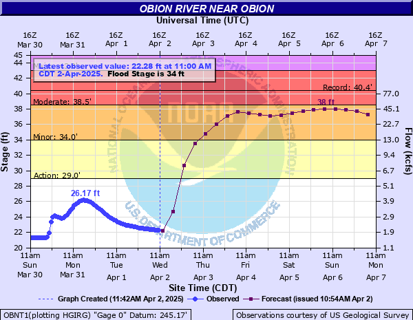
Obion River near Obion
Critical Stages
29' - Action
34' - Flood
38.5' - Moderate
43' - Major
Latest Observation
Updated: 11:00 PM CST 12/4/25
Status: No Flooding
Stage: 20.55 ft
Flow: 0.812 kcfs
Forecast
| Time | Stage (ft) | Flow (kcfs) |
|---|---|---|
| 6 AM 12/5 | 20.5 | 0.798 |
| 12 PM 12/5 | 20.4 | 0.772 |
| 6 PM 12/5 | 20.4 | 0.772 |
| 12 AM 12/6 | 20.4 | 0.772 |
| 6 AM 12/6 | 20.4 | 0.772 |
| 12 PM 12/6 | 20.3 | 0.747 |
| 6 PM 12/6 | 20.3 | 0.747 |
| 12 AM 12/7 | 20.3 | 0.747 |
| 6 AM 12/7 | 20.3 | 0.747 |
| 12 PM 12/7 | 20.3 | 0.747 |
| 6 PM 12/7 | 20.3 | 0.747 |
| 12 AM 12/8 | 20.3 | 0.747 |
| 6 AM 12/8 | 20.3 | 0.747 |
| 12 PM 12/8 | 20.3 | 0.747 |
| 6 PM 12/8 | 20.2 | 0.722 |
| 12 AM 12/9 | 20.2 | 0.722 |
| 6 AM 12/9 | 20.2 | 0.722 |
| Time | Stage (ft) | Flow (kcfs) |
|---|---|---|
| 11:00 PM 12/4 | 20.55 | 0.812 |
| 10:00 PM 12/4 | 20.56 | 0.814 |
| 9:00 PM 12/4 | 20.57 | 0.817 |
| 8:00 PM 12/4 | 20.57 | 0.817 |
| 7:00 PM 12/4 | 20.58 | 0.82 |
| 6:00 PM 12/4 | 20.58 | 0.82 |
| 5:00 PM 12/4 | 20.59 | 0.822 |
| 4:00 PM 12/4 | 20.6 | 0.825 |
| 3:00 PM 12/4 | 20.61 | 0.828 |
| 2:00 PM 12/4 | 20.62 | 0.831 |
| 1:00 PM 12/4 | 20.63 | 0.833 |
| 12:00 PM 12/4 | 20.64 | 0.836 |
| 11:00 AM 12/4 | 20.65 | 0.839 |
| 10:00 AM 12/4 | 20.66 | 0.842 |
| 9:00 AM 12/4 | 20.68 | 0.847 |
| 8:00 AM 12/4 | 20.69 | 0.85 |
| 7:00 AM 12/4 | 20.7 | 0.853 |
| 6:00 AM 12/4 | 20.71 | 0.856 |
| 5:00 AM 12/4 | 20.73 | 0.861 |
| 4:00 AM 12/4 | 20.75 | 0.867 |
| 3:00 AM 12/4 | 20.76 | 0.87 |
| 2:00 AM 12/4 | 20.78 | 0.876 |
| 1:00 AM 12/4 | 20.8 | 0.881 |
| 12:00 AM 12/4 | 20.81 | 0.884 |
| 11:00 PM 12/3 | 20.82 | 0.887 |
| 10:00 PM 12/3 | 20.83 | 0.89 |
| 9:00 PM 12/3 | 20.85 | 0.896 |
| 8:00 PM 12/3 | 20.88 | 0.905 |
| 7:00 PM 12/3 | 20.9 | 0.911 |
| 6:00 PM 12/3 | 20.92 | 0.917 |
41.7' -
Widespread flooding is occurring in Dyer, Obion, Gibson, and Weakley Counties near the Obion River and its tributaries.
39.6' -
Extensive flooding is occurring in the community of Obion. Agricultural land on both banks of the river is extensively flooded. Evacuations are necessary in Obion and Rives.
38' -
Rives is flooding and most farmland near the river is flooding.
37' -
Flooding is occurring in Obion. Widespread flooding is occurring in Rives. Numerous secondary roads near the river are flooded.
36' -
Rives is flooding. Most cropland near the river is flooded.
35' -
Several secondary roads and large areas of farmland are flooded in northern Dyer County. Flooding is occurring around Rives in southeast Obion County.
34' -
Farmland near the river is flooded.
33' -
Agricultural land near the Obion River begins to flood.
31' -
Cropland flooding is occurring in low areas on the south bank of the Obion River.
29' -
Overbank flooding begins near the Obion River.
| Date | Stage (ft) |
|---|---|
| Apr 8, 2025 | 40.75 |
| Jan 24, 1937 | 40.4 |
| Feb 19, 2025 | 39.84 |
| Feb 19, 2025 | 39.84 |
| Mar 4, 1997 | 39.6 |
| May 6, 2011 | 39.31 |
| Mar 14, 2016 | 39.12 |
| Dec 24, 1990 | 38.99 |
| Dec 3, 2001 | 38.78 |
| Feb 17, 1989 | 38.71 |
| Feb 15, 2019 | 38.46 |
| May 5, 2010 | 38.43 |
| Apr 7, 2008 | 37.15 |
| May 6, 2009 | 36.55 |
| Nov 22, 1988 | 36.48 |
| May 11, 1984 | 36.45 |
| May 22, 1983 | 36.4 |
| Dec 29, 1987 | 36.33 |
| Dec 24, 2015 | 36.22 |
| May 10, 2003 | 36.18 |
Data provided by the National Weather Service.