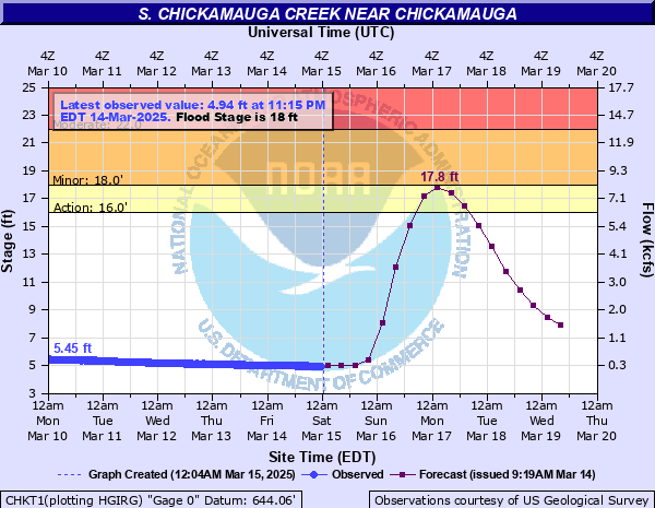
S. Chickamauga Creek near Chickamauga
Critical Stages
16' - Action
18' - Flood
22' - Moderate
27' - Major
Latest Observation
Updated: 9:15 AM EST 12/6/25
Status: No Flooding
Stage: 4.97 ft
Flow: 0.315 kcfs
Forecast
| Time | Stage (ft) | Flow (kcfs) |
|---|---|---|
| 1 PM 12/6 | 5 | 0.324 |
| 7 PM 12/6 | 5 | 0.324 |
| 1 AM 12/7 | 4.9 | 0.295 |
| 7 AM 12/7 | 4.9 | 0.295 |
| 1 PM 12/7 | 4.8 | 0.268 |
| 7 PM 12/7 | 4.7 | 0.243 |
| 1 AM 12/8 | 4.7 | 0.243 |
| 7 AM 12/8 | 4.7 | 0.243 |
| 1 PM 12/8 | 4.7 | 0.243 |
| 7 PM 12/8 | 4.7 | 0.243 |
| 1 AM 12/9 | 4.7 | 0.243 |
| 7 AM 12/9 | 4.7 | 0.243 |
| 1 PM 12/9 | 4.7 | 0.243 |
| 7 PM 12/9 | 4.7 | 0.243 |
| 1 AM 12/10 | 4.7 | 0.243 |
| 7 AM 12/10 | 4.7 | 0.243 |
| 1 PM 12/10 | 4.7 | 0.243 |
| 7 PM 12/10 | 4.7 | 0.243 |
| 1 AM 12/11 | 4.7 | 0.243 |
| 7 AM 12/11 | 4.7 | 0.243 |
| Time | Stage (ft) | Flow (kcfs) |
|---|---|---|
| 9:15 AM 12/6 | 4.97 | 0.315 |
| 9:00 AM 12/6 | 4.98 | 0.318 |
| 8:45 AM 12/6 | 4.97 | 0.315 |
| 8:30 AM 12/6 | 4.98 | 0.318 |
| 8:15 AM 12/6 | 4.97 | 0.315 |
| 8:00 AM 12/6 | 4.97 | 0.315 |
| 7:45 AM 12/6 | 4.98 | 0.318 |
| 7:30 AM 12/6 | 4.97 | 0.315 |
| 7:15 AM 12/6 | 4.97 | 0.315 |
| 7:00 AM 12/6 | 4.97 | 0.315 |
| 6:45 AM 12/6 | 4.97 | 0.315 |
| 6:30 AM 12/6 | 4.97 | 0.315 |
| 6:15 AM 12/6 | 4.96 | 0.312 |
| 6:00 AM 12/6 | 4.97 | 0.315 |
| 5:45 AM 12/6 | 4.97 | 0.315 |
| 5:30 AM 12/6 | 4.97 | 0.315 |
| 5:15 AM 12/6 | 4.97 | 0.315 |
| 5:00 AM 12/6 | 4.96 | 0.312 |
| 4:45 AM 12/6 | 4.96 | 0.312 |
| 4:30 AM 12/6 | 4.96 | 0.312 |
| 4:15 AM 12/6 | 4.96 | 0.312 |
| 4:00 AM 12/6 | 4.95 | 0.309 |
| 3:45 AM 12/6 | 4.95 | 0.309 |
| 3:30 AM 12/6 | 4.95 | 0.309 |
| 3:15 AM 12/6 | 4.94 | 0.306 |
| 3:00 AM 12/6 | 4.94 | 0.306 |
| 2:45 AM 12/6 | 4.94 | 0.306 |
| 2:30 AM 12/6 | 4.94 | 0.306 |
| 2:15 AM 12/6 | 4.95 | 0.309 |
| 2:00 AM 12/6 | 4.93 | 0.304 |
30' -
The airport is closed. Interstates 24 and 75 in East Ridge are impassable.
29' -
The airport can still function at a reduced level. Access to the airport becomes difficult.
28' -
Major flooding occurs in areas around the airport in Chattanooga. Several roads are blocked, including Highway 153 near Shepherd Road. Many homes in East Ridge are flooded, and some businesses affected.
27' -
Homes on Arlena Circle (off Shallowford Road) are evacuated. Evacuations also take place at the Fountainbleau Apartments on Spring Creek Road in East Ridge.
24' -
A few homes in the East Ridge area are flooded.
23' -
Evacuations begin in some of the low lying areas around Spring Creek in the East Ridge area.
22' -
Airport Road is closed to traffic. A couple of homes are slightly flooded near intersection of Mack Smith Road and May Street. Flooding becomes extensive around the north end of the airport.
21' -
Mack Smith Road and Lovell Field Loop become impassable. Water begins to come onto Airport Road, just north of the terminal complex. West Chickamauga Creek increases to near a half mile wide in places, becoming hazardous to adjacent travel in East Ridge.
20' -
Mack Smith Road is closed. Water crosses Lovell Field Loop, the access road around the north end of the airport runway.
19' -
Water across Mack Smith Road begins to impede traffic. West Chickamauga Creek overflows its banks near the Georgia state line and inundates several roads and properties in the area.
18' -
Water begins to cross Mack Smith Road in Catoosa County, Georgia. Flooding begins at golf courses near the confluence of South and West Chickamauga Creeks. West Chickamauga Creek begins to overflow its banks, as well.
| Date | Stage (ft) |
|---|---|
| May 8, 2003 | 29.29 |
| Feb 17, 1990 | 28.72 |
| Mar 17, 1973 | 28.7 |
| Sep 22, 2009 | 28.54 |
| Mar 30, 1951 | 27.73 |
| Mar 29, 1994 | 27.54 |
| Nov 29, 1948 | 26.83 |
| Dec 27, 2015 | 26.43 |
| Apr 14, 2020 | 25.93 |
| Dec 19, 1961 | 25.7 |
| Oct 6, 1995 | 25.6 |
| Feb 5, 1936 | 25.47 |
| Jan 21, 1947 | 25.35 |
| Sep 18, 2004 | 25.29 |
| Feb 11, 1946 | 24.65 |
| Feb 3, 1969 | 24.64 |
| Sep 8, 1950 | 24.61 |
| Apr 9, 1938 | 24.36 |
| Mar 16, 1964 | 24.32 |
| Sep 18, 2004 | 24.13 |
Data provided by the National Weather Service.