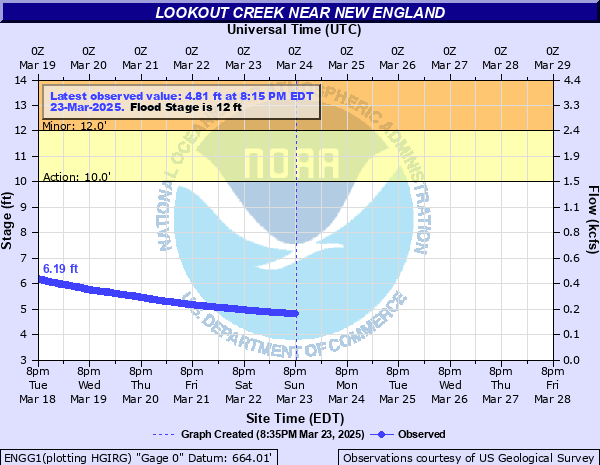
Lookout Creek near New England
Critical Stages
10' - Action
12' - Flood
17' - Moderate
19' - Major
Latest Observation
Updated: 9:15 AM EST 12/6/25
Status: No Flooding
Stage: 3.74 ft
Flow: 0.0497 kcfs
Forecast
Forecast not available for this location.
| Time | Stage (ft) | Flow (kcfs) |
|---|---|---|
| 9:15 AM 12/6 | 3.74 | 0.0497 |
| 9:00 AM 12/6 | 3.74 | 0.0497 |
| 8:45 AM 12/6 | 3.74 | 0.0497 |
| 8:30 AM 12/6 | 3.74 | 0.0497 |
| 8:15 AM 12/6 | 3.74 | 0.0497 |
| 8:00 AM 12/6 | 3.74 | 0.0497 |
| 7:45 AM 12/6 | 3.74 | 0.0497 |
| 7:30 AM 12/6 | 3.74 | 0.0497 |
| 7:15 AM 12/6 | 3.74 | 0.0497 |
| 7:00 AM 12/6 | 3.74 | 0.0497 |
| 6:45 AM 12/6 | 3.74 | 0.0497 |
| 6:30 AM 12/6 | 3.74 | 0.0497 |
| 6:15 AM 12/6 | 3.74 | 0.0497 |
| 6:00 AM 12/6 | 3.74 | 0.0497 |
| 5:45 AM 12/6 | 3.74 | 0.0497 |
| 5:30 AM 12/6 | 3.74 | 0.0497 |
| 5:15 AM 12/6 | 3.74 | 0.0497 |
| 5:00 AM 12/6 | 3.73 | 0.049 |
| 4:45 AM 12/6 | 3.74 | 0.0497 |
| 4:30 AM 12/6 | 3.74 | 0.0497 |
| 4:15 AM 12/6 | 3.73 | 0.049 |
| 4:00 AM 12/6 | 3.73 | 0.049 |
| 3:45 AM 12/6 | 3.73 | 0.049 |
| 3:30 AM 12/6 | 3.73 | 0.049 |
| 3:15 AM 12/6 | 3.73 | 0.049 |
| 3:00 AM 12/6 | 3.73 | 0.049 |
| 2:45 AM 12/6 | 3.73 | 0.049 |
| 2:30 AM 12/6 | 3.73 | 0.049 |
| 2:15 AM 12/6 | 3.73 | 0.049 |
| 2:00 AM 12/6 | 3.72 | 0.0483 |
24' -
Record flooding occurs. Flood waters will top State Route 136 bridge. This is a main throughway to Lookout Mountain. Significant flooding of numerous homes and some businesses occurs along the creek throughout Dade County. Evacuations are necessary. Also major flooding will continue downstream as the creek crosses the Tennessee border into the Tiftonia area. Several roads near the creek will be flooded and closed with several feet of water.
21' -
Record flooding begins. State Route 136 will be closed as water approaches top of bridge. Many homes are flooded out between Trenton and New England. Evacuations will likely be needed. Also major flooding will continue downstream as the creek crosses the Tennessee border into the Tiftonia area. Several roads near the creek will be flooded and closed with several feet of water.
19' -
Major Flooding begins. Several homes begin to flood near Sells Lane and Lookout Creek Road and many buildings near Creek Road and the New England hang gliding park. In addition...flooding of the bridge and road along Nickajack Road near Lookout Creek occurs. Some residence will likely need to evacuate. Also major flooding will begin downstream as the creek crosses the Tennessee border into the Tiftonia area. Several roads near the creek will be flooded and closed with a few feet of water.
17' -
Moderate flooding begins. Several small buildings near the New England hang gliding recreation park begin to flood. Several roads in Dade county will be closed including Sells Lane...Mason Road...and Creek Road. The water will be several feet deep on portions of these roads. Also moderate flooding will begin downstream as the creek crosses the Tennessee border into the Tiftonia area. Several roads near the creek will be flooded and closed.
15' -
Minor flooding continues to expand along Sells Lane in Trenton...Mason Road near Rising Fawn...and Creek Road near New England. These roads and other roads with creeks flowing into Lookout Creek will flood causing the roads to be closed. The water will be a few feet deep on portions of these roads. Also minor flooding will continue to expand downstream as the creek crosses the Tennessee border into the Tiftonia area.
13' -
Minor flooding expands along Sells Lane in Trenton...Mason Road near Rising Fawn...and Creek Road near New England. All these roads will be closed. Also minor flooding expands much further downstream as the creek crosses the Tennessee border into the Tiftonia area.
12' -
Flood Stage is reached and minor flooding begins. Flooding begins along Sells Lane in Trenton...Mason Road near Rising Fawn...and Creek Road near New England. In addition...minor flooding of pasture and grazing land begins along the flood plain. Minor flooding of the creek can also be expected much further downstream as it crosses the Tennessee border into the Tiftonia area.
10' -
Bankfull conditions are reached along the creek upstream and downstream from the gage on Creek Road.
| Date | Stage (ft) |
|---|---|
| Aug 17, 1982 | 20.73 |
| Feb 7, 2020 | 20.53 |
| Sep 17, 2004 | 20.35 |
| Oct 5, 1995 | 19.57 |
| May 7, 2003 | 19.5 |
| Feb 16, 1990 | 18.76 |
| Mar 21, 1980 | 18.21 |
| Dec 26, 2015 | 18.19 |
| Apr 13, 2020 | 17.75 |
| Jan 7, 2009 | 17.2 |
| Mar 28, 1994 | 17.1 |
| Jan 3, 2020 | 16.97 |
| Feb 16, 1995 | 16.96 |
| Dec 1, 1982 | 16.92 |
| Apr 3, 2000 | 16.68 |
| May 19, 2013 | 16.65 |
| Jan 15, 2013 | 16.61 |
| Dec 23, 2019 | 16.36 |
| Sep 6, 2011 | 16.07 |
| Dec 23, 1990 | 15.96 |
Data provided by the National Weather Service.